


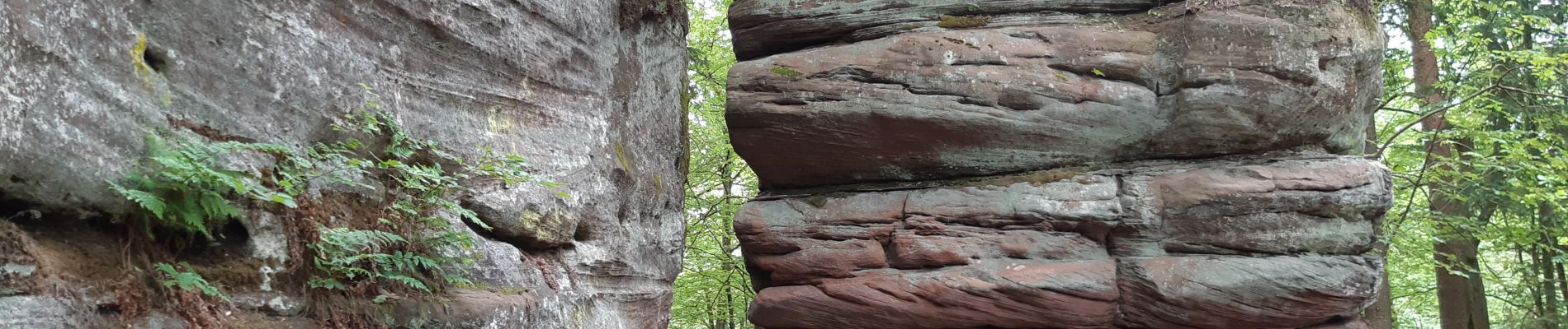
Pirmasens - Felsenwald

VacheKiri67
User


4h48
Difficulty : Medium

FREE GPS app for hiking
 SityTrail
IGN / Geographical institutes
SityTrail Plus
The world is yours!
About
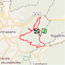
Trail Walking of 14.2 km to be discovered at Rhineland-Palatinate, Südwestpfalz, Münchweiler an der Rodalb. This trail is proposed by VacheKiri67.
Description
Faite le 09/06/2019 avec nos amis Eléonore et Bernard et notre fils Théo de 14 ans. D'après https://www.wanderinstitut.de/premiumwege/rheinland-pfalz/felsenwald/
Flyer http://www.pirmasens.de/dante-cms/app_data/adam/repo/tempmedia/1560178286.ZIOWZUNMWOQSEGFOMTFLKAVWMRDWXMWG/86090_wanderflyer-felsenwald-x-web_neu.pdf
Photos


33 photos in total. Please click on a photo to see them all in the gallery.
Positioning
Comments